A worker is seriously injured on a large construction site. Within an hour, the scene has been disturbed, witnesses have moved, and the physical evidence that explains exactly what happened is already degrading. That problem now has a serious answer.
The Old Way Was Losing Evidence by the Minute
Traditional incident investigation is a race you start behind. By the time an HSA inspector arrives on site, contractors have secured the area, emergency services have moved through it, and the geometry of the scene has shifted. Measurements get taken by hand. Photographs are flat and partial. Witnesses fill in gaps from memory, and memory is not reliable under stress.
The result is investigations that take months, reconstructions that get contested in court, and outcomes that satisfy nobody. Families of injured workers wait years for findings. Employers face drawn-out proceedings built on incomplete records. The system is not broken exactly, but it leaks badly.
That is changing. The HSA's formal partnership with AirNav Ireland, the state body that manages Irish airspace, gives investigators rapid access to drone deployment over serious incident sites. The practical effect is significant.
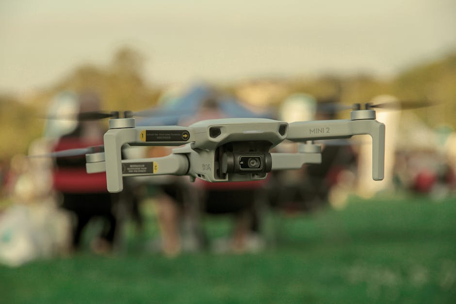
What Drones Actually Capture
A commercial survey drone operating over a site can capture thousands of data points per second using LiDAR or photogrammetric imaging. From that data, investigators build a 3D model of the scene accurate to within a few centimetres. Every surface, every object, every spatial relationship, frozen in time.
Compare that to a site plan drawn by hand after the fact and you understand why this matters.
The 3D model is not just a photograph. Investigators can measure distances between objects that no longer exist in their original positions. They can reconstruct sightlines and work out what was visible from any given point. They can calculate fall distances, trajectory angles, and load positions with engineering-grade accuracy.
For construction falls, which remain the single largest cause of fatal workplace injuries in Ireland, this is genuinely transformative. The question of exactly where a barrier was, how high an unprotected edge sat, or what the ground conditions looked like is now answerable from verified data rather than competing accounts.
The Chain of Evidence Gets Stronger
Courts and liability proceedings live and die on evidence quality. Drone-captured survey data is timestamped, GPS-referenced, and produced by equipment with calibrated accuracy ratings. It is not subject to the frailties of human recall or the pressures that sometimes influence witness accounts given hours or days after an incident.
This matters enormously for injured workers seeking accountability. When a company disputes the HSA's reconstruction of events, the quality of the physical evidence shapes the entire proceeding. A verified 3D model of the scene as it existed within hours of the incident is considerably harder to argue against than a sketch and a set of photographs taken from ground level.
It also speeds things up. Faster, more certain evidence means faster conclusions. That is justice in a practical sense, not just a procedural one.
What the AirNav Partnership Provides
AirNav Ireland manages all airspace in this country, including the complex regulatory framework around commercial drone operations. Flying a drone over an active incident scene, often near roads, emergency vehicles, and populated areas, requires coordinated airspace access that cannot wait for standard permit processes.
The partnership means the HSA can get authorised drone assets over a scene quickly, without the delays that would otherwise make the whole exercise pointless. By the time a drone survey is most valuable, the scene is still largely intact. That window is short.
AirNav also brings technical expertise in flight planning over complex environments. Industrial sites, agricultural settings, construction zones, these are not simple aerial environments. The coordination between the two bodies closes the gap between the capability existing and the capability being usable.
The Limits Worth Naming
Drones do not replace investigators. They generate data. What that data means still requires experienced professionals who understand the mechanics of workplace incidents, the regulatory context, and the human factors that sit behind most serious injuries.
There is also the weather. Ireland being Ireland, conditions do not always cooperate. A drone survey is only possible within certain wind speed and visibility parameters. A serious incident in the middle of a winter storm on an exposed coastal site still presents real operational challenges.
And evidence quality only helps if the system processing that evidence works well. Faster, better incident data fed into an under-resourced investigation and prosecution pipeline does not automatically produce faster outcomes for workers and families. The drone partnership improves one part of a larger process.
The Broader Shift This Represents
What the HSA is doing here reflects a wider change in how serious incident investigation is approached across occupational safety globally. The best systems no longer rely solely on what survives the first few hours of chaos after an injury. They capture the scene before it disappears.
Ireland is not early to this technology, but the formal institutional partnership with AirNav means it is building something more durable than a one-off procurement. Embedded capability, with airspace coordination built in, is a different proposition to having a drone and hoping you can fly it.
For anyone dealing with the aftermath of a serious workplace incident, including safety managers, HR leads, and particularly the workers who were there, this is a signal that the investigation arriving on your site is better equipped than it was three years ago. That should change how you think about site preservation in those first critical hours. Do not move things. Do not clean up. The evidence matters, and now there are better tools to read it.
The technology has arrived. The question is whether everything around it rises to match.